Cleveland.
Here's what's on record.
One free scan reads 30-plus federal and state databases for the mile around Cleveland.
Get the highlights.
See every database ⌄2 former cleanup sites within a mile. Nearest: GOULD INC FOIL DIVISION. None are active Superfund listings today.
2 community water systems overlap this ZIP. Cleveland Heights City PWS and East Cleveland City PWS both reach into this area. The provider is confirmed per address.
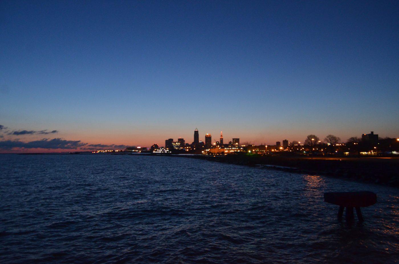
Erik Drost, CC BY 2.0 (cropped) · Wikimedia
Zone 1 radon, countywide. All of Cuyahoga County maps at Zone 1. A short home test is the only way to know one home's level.
Also in the file. And what the full report adds.
Every named facility
Names, distances, dates, and a 30-year timeline for your exact address. 7-day unconditional refund.
Watch this address
A weekly re-scan emails you only when something new lands on record. Cancel anytime.
The neighborhood read.
All of Cuyahoga County maps as EPA Radon Zone 1. A short home test is the only way to know one home's level.
Registered facility records are the largest group on file. 110 of them are on record near the ZIP centroid.
Run a free scan on your address